

An entitled, impatient, intoxicated driver passing on the right on a dimly lit road killed 2 young men.
The Gaudreau brothers were husbands, fathers, brothers, sons. Their wives and children are husband and fatherless. They were supposed to be groomsmen in their sister’s wedding the following day. Their families are devastated.
He was drunk and dangerous. He killed two people. But he is not ENTIRELY to blame…
The deaths of these two young men was preventable. We need much more than PSAs, signs, education and enforcement.
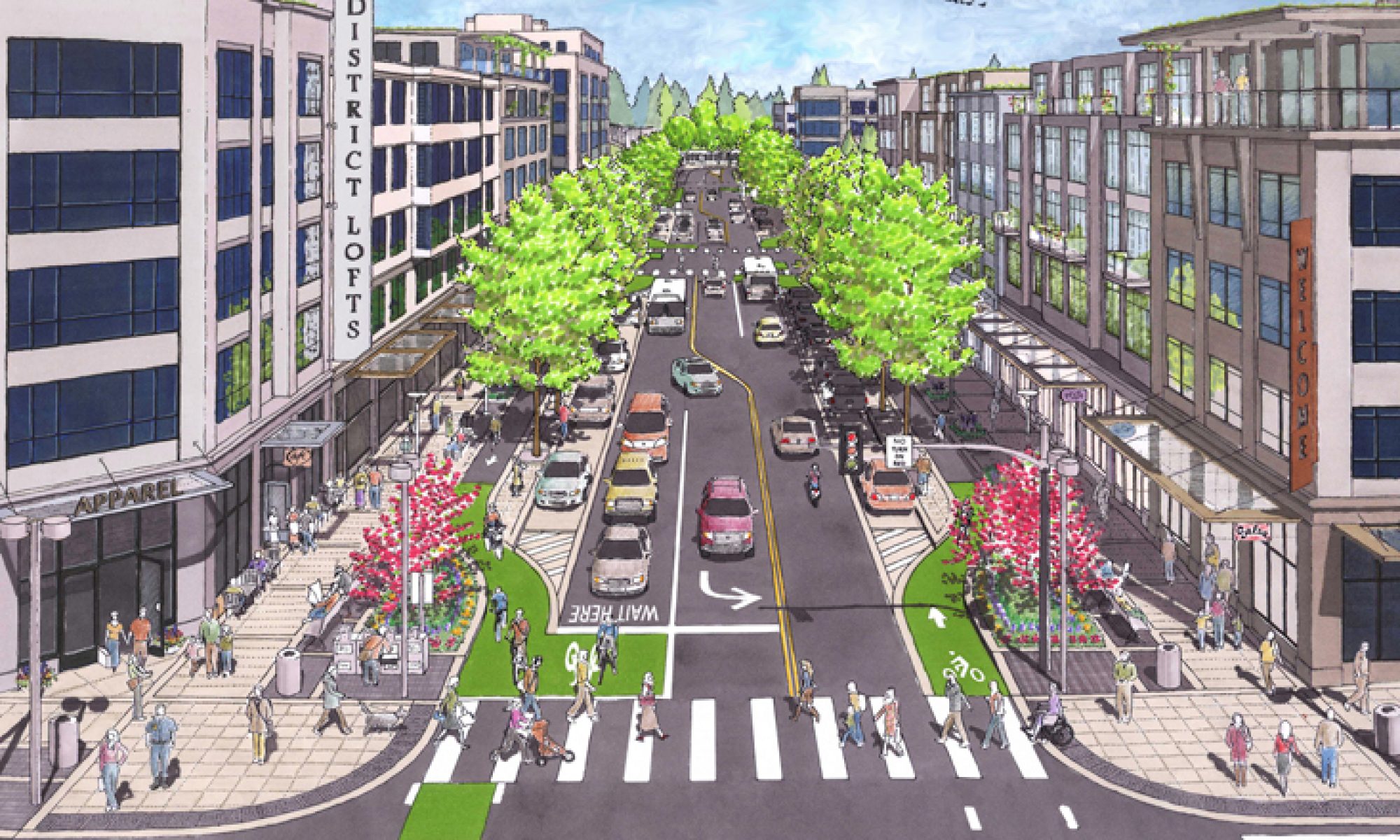
The only way to reduce the likelihood of deaths and serious injury on our streets and roads is changing the built environment for equitable access for all road users.
Read the New Jersey Bike And Walk Coalition press release.
“This tragedy was avoidable on so many levels. We are not going to achieve zero traffic deaths with cute messaging. We need safer roads, safer drivers and safer vehicles. Johnny Gaudreau and his brother Matthew were killed cycling on Salem County Route 551, a rural road with no shoulders and a 50 mph speed limit by a drunk driver who passed another driver on the right who was safely passing them.”
John Boyle, Research Director for the Bicycle Coalition of Greater Philadelphia and the Vision Zero NJ Alliance.
Drivers are prioritized in the US over all other road users.
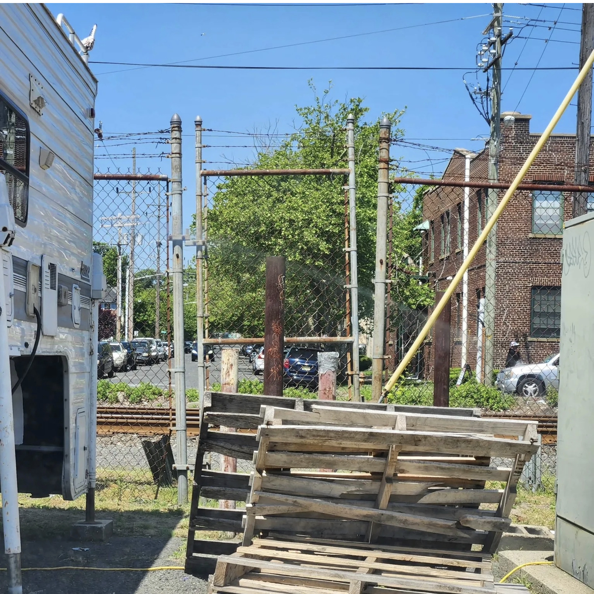
Roads are public space, but how many of us who walk and roll feel that we have equal right to access the streets in our city – are you fearful of riding a bike or walking in our city of Asbury Park? Why?
Drivers speed with impunity, run traffic signals and stop signs, and take turns on on red without pausing.
Drivers kill.
New Jersey 2023: There were 177 total pedestrian fatalities, and 24 people riding bikes were killed by drivers.
Whether you’re impressed by data or not…
How many people have to die – it could be YOU, your mother, father, son, daughter, friend.
Driving is a privilege, not a right.
Until we change the culture – the mindset that drivers rule our roads:
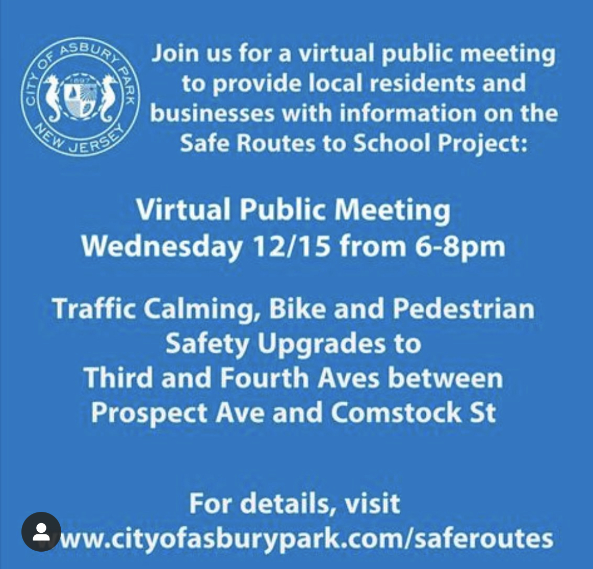
Local city leaders can commit to making design changes on streets and roads to keep vulnerable road users safe (that’s any road user outside a car!).
The system in the US prioritizes driving, and the auto industry has such influence that driving is considered a basic human right, but safety on our roads is not.
We can lobby legislators in NJ, and call for NJ to pass the Target Zero Commission bill (S361/A1476).
The bill will establish a comprehensive plan to eliminate traffic deaths and serious injuries on New Jersey’s roads by employing proven strategies and countermeasures. We demand that our leaders act now to prevent further tragedies and make our streets safe for everyone.
It’s rare that a license is revoked at all, even if there’s a fatality, and almost never permanently.
That drunk driver taken off the road would be warranted, and prevent him from killing again.
But it’s only a matter of time that another fatality occurs on any road that is not designed for safety of all users.
🤬
Onward.
Polli Schildge, Editor